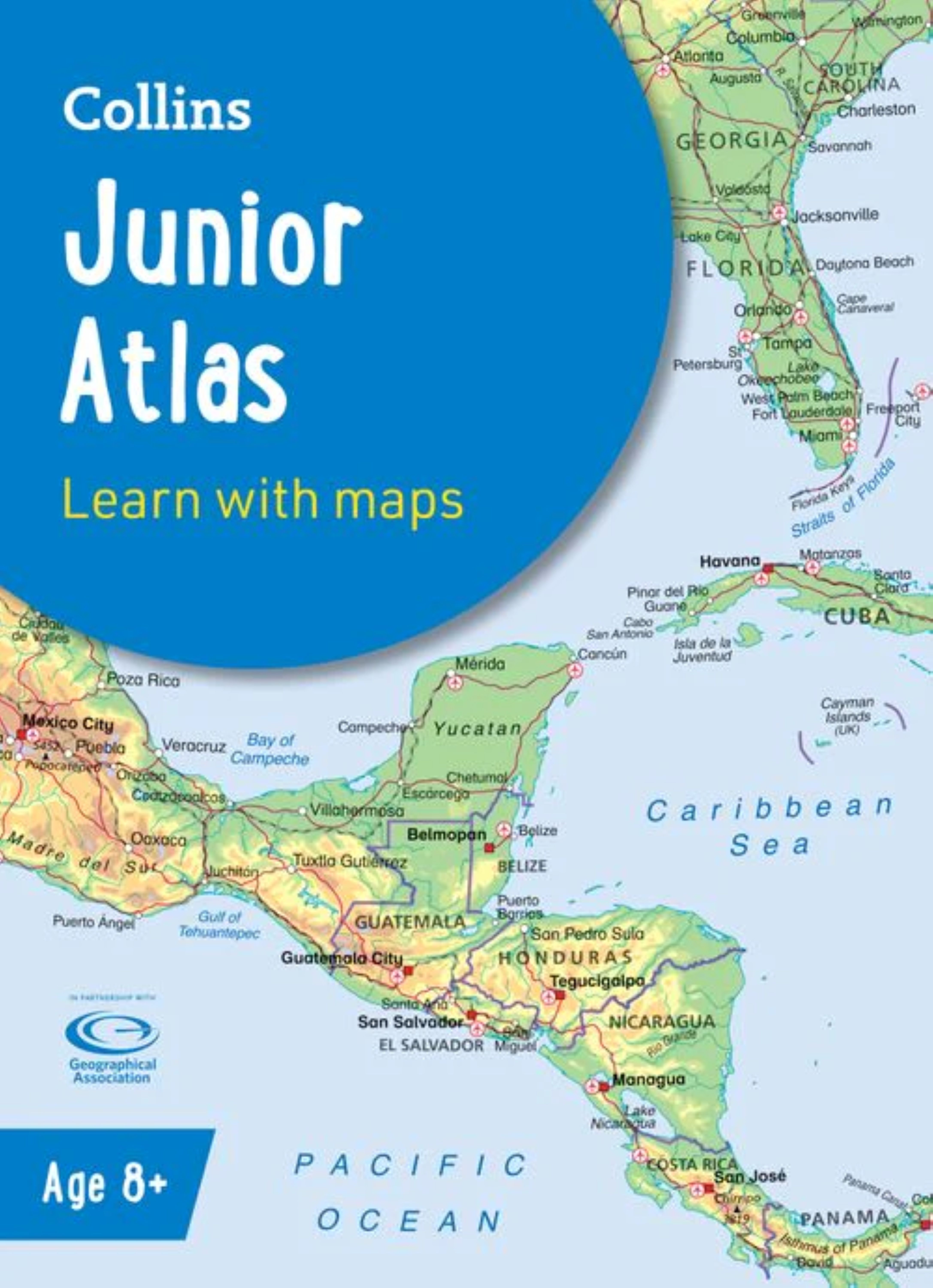
0 £0.00
products in your basketto quote Checkout
Ooops no items were found.
Try something else.
Ok
Loading…

Collins Junior World Atlas pack of 15

Category Atlases
HP057462

Collins Junior World Atlas pack of 15

Product Code: HP057462
Category Atlases

Description

The must-have Back to School Atlas for Year 6

Fully revised and updated, this is an ideal world reference atlas for young primary school geographers aged 8-11 years (Key Stage 2). Published in association with the Geographical Association, it enables children to learn about the world today and understand how maps and atlases work.

The atlas is organised into sections covering the UK, Europe, the world and continents with more detailed larger scale maps of countries and regions popular for focus studies.

It includes topics such as climate, population, migration, trade and environmental issues.

Topographical based mapping helps the young geographer understand the processes which take place during the formation of the earth’s landscapes.

The reference mapping is designed for maximum clarity and accessibility, and is supported by photographs and data boxes, with detailed map keys and scale information on each map.

Specially selected topic maps give additional information linking to knowledge and understanding of distant places.

Tables of key world country data include an Ecological Footprint figure for each country.

Specifications

UNSPSC Code

55101501

Weight

4235kg

Height

50mm

Width

226mm

Length

312mm

Brand

Own Brand

Categories

Geography

Category

Atlases

From
£148.25 Pack of 1
/
- +
Compare

Collins Junior World Atlas pack of 15

Category Atlases
HP057462

Collins Junior World Atlas pack of 15

Product Code: HP057462
Category Atlases

Description

The must-have Back to School Atlas for Year 6

Fully revised and updated, this is an ideal world reference atlas for young primary school geographers aged 8-11 years (Key Stage 2). Published in association with the Geographical Association, it enables children to learn about the world today and understand how maps and atlases work.

The atlas is organised into sections covering the UK, Europe, the world and continents with more detailed larger scale maps of countries and regions popular for focus studies.

It includes topics such as climate, population, migration, trade and environmental issues.

Topographical based mapping helps the young geographer understand the processes which take place during the formation of the earth’s landscapes.

The reference mapping is designed for maximum clarity and accessibility, and is supported by photographs and data boxes, with detailed map keys and scale information on each map.

Specially selected topic maps give additional information linking to knowledge and understanding of distant places.

Tables of key world country data include an Ecological Footprint figure for each country.

Specifications

UNSPSC Code

55101501

Weight

4235kg

Height

50mm

Width

226mm

Length

312mm

Brand

Own Brand

Categories

Geography

Category

Atlases

From
£148.25 Pack of 1
/
- +
Compare
SEARCH ×