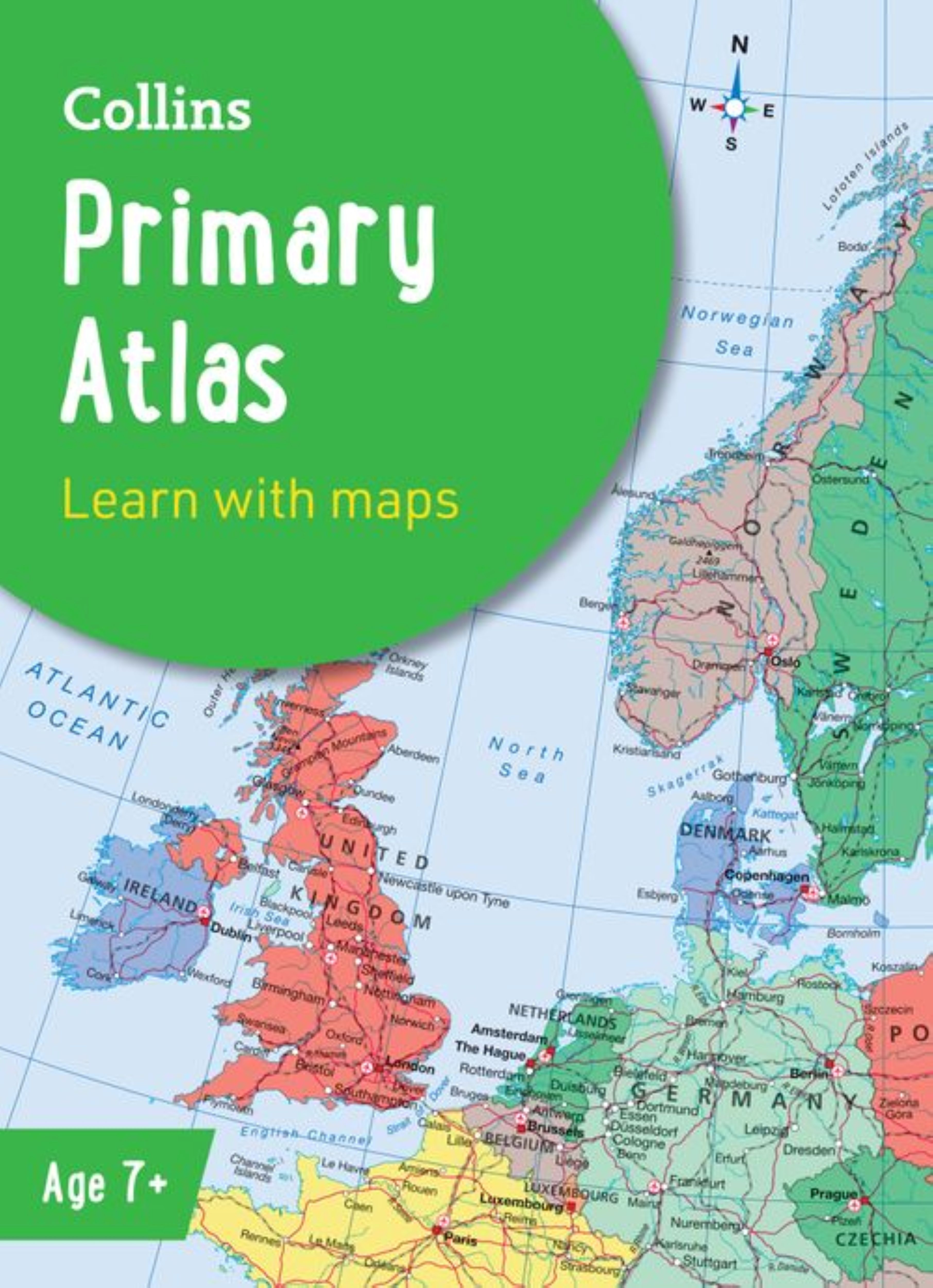
0 £0.00
products in your basketto quote Checkout
Ooops no items were found.
Try something else.
Ok
Loading…

Collins Primary Atlas

Category Atlases
HE1003402

Collins Primary Atlas

Product Code: HE1003402
Category Atlases

Description

The must-have atlas for children aged 7-11

Collins Primary Atlas is a great introduction to mapping of the UK, Europe and all major regions of the world. It supports the Key Stage 2 curriculum and is suitable for children aged 7-11 years.

This new, fully up-to-date edition includes information on map reading skills, the meaning of scale and measuring distances, and is ideal for classroom use or home learning.

Reference maps:

  • Informative, politically coloured and easy-to-read
  • National capitals and major cities are clearly labelled
  • Maps are supported with national flags and basic national statistics

Continental maps:

  • Linked to regional mapping
  • Supported by a selection of aerial and terrestrial photographs
  • Relief maps show layer colouring and highlight major physical features

Specifications

Made In

HK

UNSPSC Code

55101501

Weight

287kg

Height

5mm

Width

226mm

Length

312mm

Brand

Own Brand

Categories

Geography

Category

Atlases

From
£10.35 Pack of 1
/
- +
Compare

Collins Primary Atlas

Category Atlases
HE1003402

Collins Primary Atlas

Product Code: HE1003402
Category Atlases

Description

The must-have atlas for children aged 7-11

Collins Primary Atlas is a great introduction to mapping of the UK, Europe and all major regions of the world. It supports the Key Stage 2 curriculum and is suitable for children aged 7-11 years.

This new, fully up-to-date edition includes information on map reading skills, the meaning of scale and measuring distances, and is ideal for classroom use or home learning.

Reference maps:

  • Informative, politically coloured and easy-to-read
  • National capitals and major cities are clearly labelled
  • Maps are supported with national flags and basic national statistics

Continental maps:

  • Linked to regional mapping
  • Supported by a selection of aerial and terrestrial photographs
  • Relief maps show layer colouring and highlight major physical features

Specifications

Made In

HK

UNSPSC Code

55101501

Weight

287kg

Height

5mm

Width

226mm

Length

312mm

Brand

Own Brand

Categories

Geography

Category

Atlases

From
£10.35 Pack of 1
/
- +
Compare
SEARCH ×