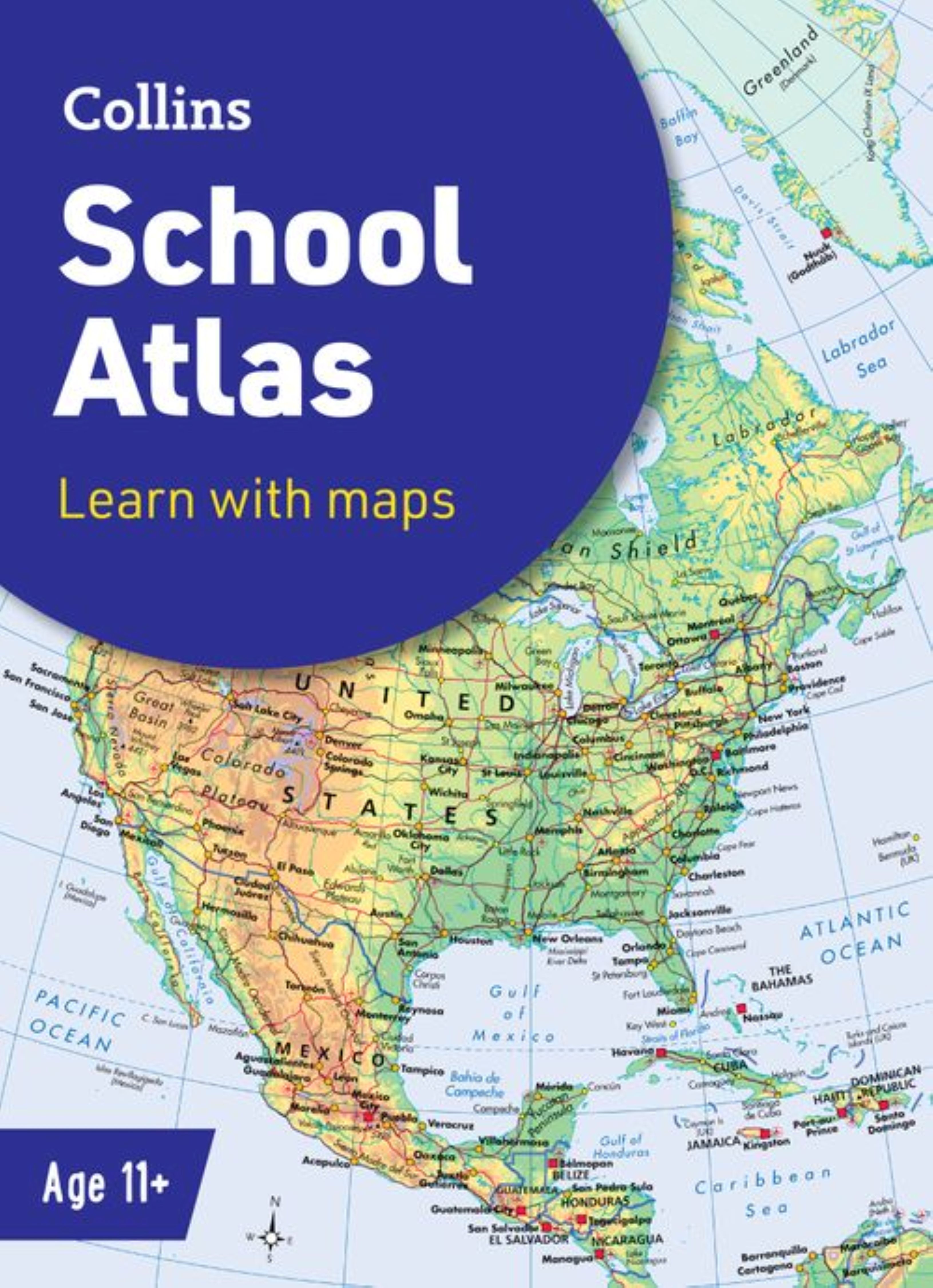
0 £0.00
products in your basketto quote Checkout
Ooops no items were found.
Try something else.
Ok
Loading…

Collins School Atlas

Category Atlases
HE1208447

Collins School Atlas

Product Code: HE1208447
Category Atlases

Description

The must-have atlas for pupils aged 11-14

Fully updated for 2025, this world atlas is designed to support Key Stage 3 students aged 11-14 years in developing their geographical and mapping skills. The content follows requirements of the National Curriculum and has been reviewed by educational experts.

A clear, easy-to-read ‘Introducing Atlas Maps’ section explains key information and encourages development of map, atlas and data handling skills. Comprehensive reference maps include facts, photos, map keys and engaging descriptive text. An extended ‘World’ section covers all the global issues required by the National Curriculum, such as population, climate change and environmental issues.

  • Fully updated for the 2024-2025 school term
  • Clearly explains key information such as latitude and longitude, scale, projections, distance, symbols, satellite images and GIS
  • Includes focus country studies and covers global issues required by the National Curriculum
  • Map coverage of the United Kingdom and Ireland, Europe, Asia, Africa, North America, South America, Oceania and Antarctica
  • Ideal for classroom use or home learning
  • Suitable for ages 11-14 (KS3 and S1-S2)

Specifications

Made In

HK

UNSPSC Code

55101501

Weight

480kg

Height

5mm

Width

230mm

Length

312mm

Brand

Own Brand

Categories

Geography

Category

Atlases

From
£13.15 Pack of 1
/
- +
Compare

Collins School Atlas

Category Atlases
HE1208447

Collins School Atlas

Product Code: HE1208447
Category Atlases

Description

The must-have atlas for pupils aged 11-14

Fully updated for 2025, this world atlas is designed to support Key Stage 3 students aged 11-14 years in developing their geographical and mapping skills. The content follows requirements of the National Curriculum and has been reviewed by educational experts.

A clear, easy-to-read ‘Introducing Atlas Maps’ section explains key information and encourages development of map, atlas and data handling skills. Comprehensive reference maps include facts, photos, map keys and engaging descriptive text. An extended ‘World’ section covers all the global issues required by the National Curriculum, such as population, climate change and environmental issues.

  • Fully updated for the 2024-2025 school term
  • Clearly explains key information such as latitude and longitude, scale, projections, distance, symbols, satellite images and GIS
  • Includes focus country studies and covers global issues required by the National Curriculum
  • Map coverage of the United Kingdom and Ireland, Europe, Asia, Africa, North America, South America, Oceania and Antarctica
  • Ideal for classroom use or home learning
  • Suitable for ages 11-14 (KS3 and S1-S2)

Specifications

Made In

HK

UNSPSC Code

55101501

Weight

480kg

Height

5mm

Width

230mm

Length

312mm

Brand

Own Brand

Categories

Geography

Category

Atlases

From
£13.15 Pack of 1
/
- +
Compare
SEARCH ×